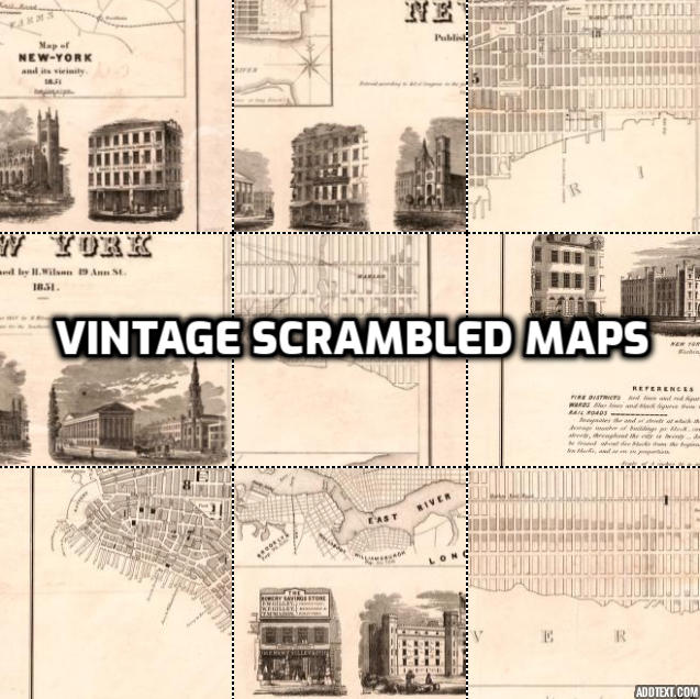
Vintage Scrambled Maps Challenge
Journey through time with historical maps from around the world!

Time Travel Through Cartography
Vintage Scrambled Maps takes you on a journey through the ages, challenging your historical and geographical knowledge with beautifully rendered maps from different eras.
Unscramble antique city plans, colonial charts, and historical atlases that showcase how our world was viewed throughout different periods in history.
Each map tells a story of exploration, discovery, and how our understanding of geography has evolved over centuries.
1677 World Map
London Underground 1908
Plan of the city of New York 1789
New York 1836
Bournemouth Street Map from 1897
Historic Map of Dorsetshire from 1764
Original Vintage Collection
Discover our original collection of vintage maps! The first version of Vintage Scrambled Maps offers even more historical puzzles to solve with a classic gameplay experience.
Explore additional antique maps not available in the current version
Experience the original game mechanics that started it all
Access exclusive vintage content from our archives
The original version is best played on desktop computers or tablets and features the classic game format from our first release.
How to Play
In Vintage Scrambled Maps, you'll be presented with a grid of historical map tiles that have been shuffled. Your challenge is to drag and rearrange the tiles until they form a complete map from a bygone era. The faster you complete the puzzle, the higher your score!
Explore Historical Worlds
Discover how cities and locations appeared throughout different periods in history.
Train Your Brain
Improve your spatial recognition and historical geographic knowledge.
Challenge Yourself
Compete against the clock and improve your times with each historic challenge.
Learn From the Past
Gain insights into how mapmakers of different eras viewed and portrayed our world.
The Historical Significance
Vintage maps are more than just geographical guides—they're windows into how people throughout history understood their world. From the ornate sea monster-filled oceans of medieval cartography to the increasingly accurate surveys of the Age of Exploration, each map tells a story.
As you reassemble these historical puzzles, you'll notice how cities have grown, borders have shifted, and place names have changed throughout the centuries.
Create Your Own Challenges
Love Vintage Scrambled Maps? Use our Scrambled Maps Studio to create your own custom map challenges!
Design puzzles based on your favorite historical locations, customize difficulty settings, and share your creations with friends.
Build multi-map games with progressive difficulty levels or create themed challenges around historical events or eras.